Planning a soil and stream sampling programme
Geochemical sampling is the cheapest way to narrow a large licence down to drillable targets. It is also the easiest programme to execute badly, because the errors are invisible until the assays come back meaningless.
Start with the question, not the grid
Before spacing is decided, be clear whether you are reconnoitring a whole licence or infilling a known anomaly. Reconnaissance stream sediment sampling covers ground fast because each sample represents an entire catchment. Soil grids cost more per square kilometre but locate a source rather than pointing downstream of it.
The usual sequence is stream sediments first to rank catchments, then soil grids over the best of them, then drilling. Skipping straight to a tight soil grid across a large licence is how exploration budgets disappear.
Spacing and orientation
Lines should run across the expected strike, not along it — otherwise a line can sit parallel to mineralisation and miss it entirely. Wide line spacing with close station spacing along each line generally finds narrow targets more reliably than an evenly square grid of the same sample count.
Zambian terrain adds a constraint that never appears in the plan: dambos, thick miombo and seasonal drainage. A grid drawn in an office frequently needs field adjustment, and those deviations must be recorded rather than quietly corrected.
Sample depth and horizon consistency
This is where most programmes fail. Samples must come from the same soil horizon throughout. Mixing organic topsoil with deeper B-horizon material produces variation that reflects sampling, not geology — and you will interpret it as an anomaly.
Fix the target horizon, train every crew member to recognise it, log actual depth and description at each station, and accept that in areas of deep transported cover soil geochemistry may not be the right tool at all.
QA/QC that makes results defensible
Without controls you cannot tell a real anomaly from a handling error — and neither can an auditor or an investor.
Crews, community and logistics
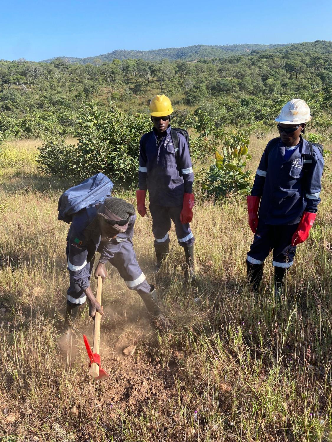
Sampling is labour-intensive and moves through inhabited land, so it is as much a community exercise as a technical one. On a recent programme we employed 53 local community members — people who know the drainages, the tracks and the seasonal access far better than any map.
Engage traditional leadership before crews arrive. Brief on safety, wildlife and water. Get supply right: on one campaign we drilled a solar-pumped borehole to supply the field camp 2km away, which removed daily water trucking for the whole season.
Delivery is part of the result
Samples sitting in a store are worth nothing. Bag, label, catalogue and dispatch in batches during the programme rather than at the end, so laboratory turnaround overlaps with fieldwork. On our most recent campaign we collected, catalogued and delivered 5,048 soil and stream sediment samples 19 days ahead of schedule — which moved the client's drilling decision forward by nearly three weeks.
Planning a sampling campaign?
Send us your licence area and target commodity. We will propose grid design, sample counts, QA/QC protocol, crew sizing and a realistic delivery schedule.
Request a quote